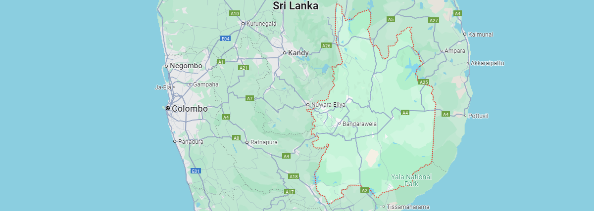
Uva Province is located in the southeastern part of Sri Lanka and covers an area of about 8,500 square kilometers. It consists of two districts: Badulla and Monaragala. The province is bordered by the Central Province to the north, the Eastern Province to the east, and the Southern Province to the west and south. Its geography is diverse, featuring a mix of mountainous terrain, valleys, and lowland plains.
The central highlands of Uva include areas like Ella, Haputale, and Ohiya, which are known for their cooler climate, misty hills, and tea plantations. The province is rich in natural beauty, including waterfalls, rivers, and forests. Key attractions such as the Ravana Falls, Little Adam's Peak, and the Nine Arches Bridge are located in these highland regions.
In contrast, the Monaragala District in the south and southeast is characterized by flatter, more arid landscapes. These areas experience warmer temperatures and are home to wildlife sanctuaries such as Yala National Park, which extends into the province. The geography of Uva supports a range of ecosystems, from tropical rainforests to dry monsoon forests.
The province is also home to several rivers, including the Mahaweli River, which flows through parts of Uva, providing essential water resources for agriculture and settlements